Afternoon Hike To Cone Point
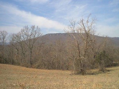
It was just about noon, on a late March Saturday that Adventure Bill and I headed down a dirt road to one of our favorite spots, Cone Point. This hike is over private property, and so we obtained permission from the owners to hike across their property to the top. We pulled in to the field where we were going to start from, and looked up, which was the general direction we had to head.
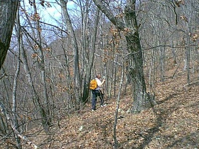
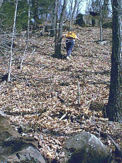
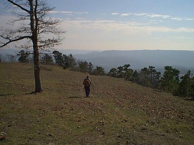
After making sure we had all our gear, including maps and a compass, we headed into the woods. The going was pretty easy at first, until you get to the base of the mountain, then there are five benches to navigate, all of them steeply up. Bill and I have hiked this mountain many times, and today we decided to try and come down the exact way that we went up, and so set a few stones pointing between two trees, and headed up, confident that we could come back down at exactly this spot. The sun was shining, and the temperature was near 75 as we navigated up through the forest. We took the path of least resistance and made our way to the base of the bluff.
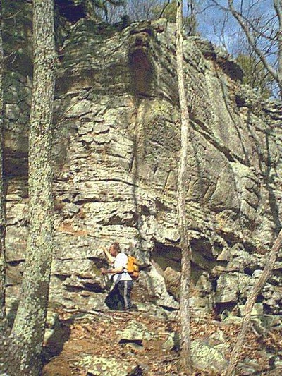
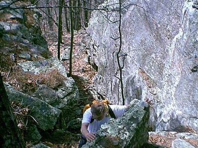
The base of the bluff is some 60' high, and if you know where to look, you can find a crack in the bluff, that allows you to climb up to the top. While not a dangerous climb, it is necessary to pay attention while working your way through the crack. Some of the spots are quite narrow and covered with pine needles and leaves, which can be very slippery.
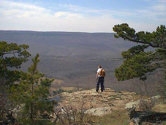
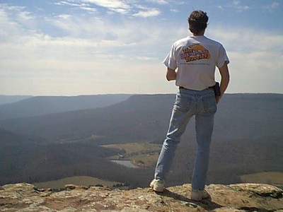
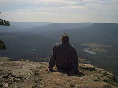
Once we reached the top, we decided to take a break, and just sit and enjoy the views. The climb to the top took us approximately 2 hours or so, maybe a little longer. We munched down on some beef jerky and AllSport, and apples. Being completely refreshed and invigorated, we decided to hike along one side of the point, with view of the Buffalo River Valley, and then around to the other side to look at Boone County and civilization. As we walked around the point, I stayed on top, and Bill walked just below, looking for cool spots and cool views.
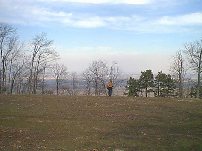
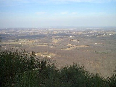
Once we reached the end of where we could hike along the bluff line, we hiked over the top of the point to take a look back at Boone County. Adventure Bill had his binoculars with him, and with them, we could clearly see the Security Bank Building in Harrison, AR. In addition we could see for miles and miles. It was quite a contrast to the other side, where you saw mostly forest, mountains and just a few fields. As the afternoon wore on, we moved from vantage point to vantage point, soaking in the sights and the sun. On top, a moderate, southerly breeze had begun, and we decided that after spending several hours on top, we would go back to the best place for viewing the Buffalo River Valley, and then head back down the mountain.
We managed to climb down without getting lost and popped out of the woods within a few feet of the rocks we had placed before we started up. We congratulated each other on a fine job of navigating the woods. This hike took about 5 hours total, with about half spent in climbing up, and the rest on top and climbing down. It was a great way to spend a Saturday afternoon in the Ozark Mountains of Arkansas. I encourage each of you to get out and spend some quality time here in the Ozarks, with friends and family, enjoying the outdoor activities that are available here.
