Hike To McFerrin Point
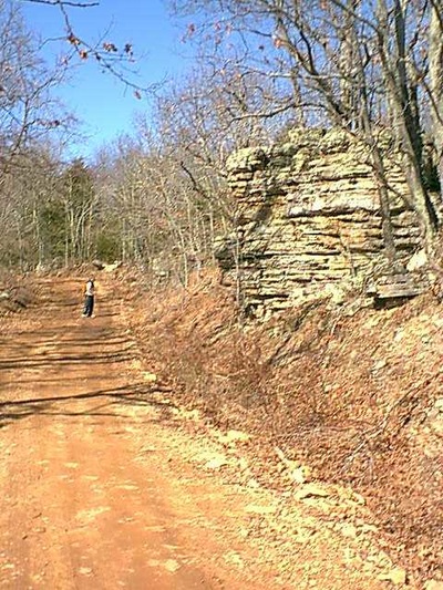
It was a fine Sunday, temperatures in the mid 50's and the sky was blue, with puffy white clouds drifting across. My friend Adventure Bill and I decided we just couldn't pass up the opportunity to go out and enjoy the day. We hopped in my Blazer, and took off with our map to find a spot we had not been to before. We decided to try and find the McFerrin Cemetary, and hike from there to a point that was marked on my map. We parked down from cemetary and started our hike.
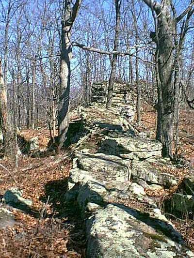
Once we climbed up off the road there was a good view of the river below from the rocks near the place we started from. It was a very warm afternoon, and I started out with a t shirt and fleece vest. As we made our way across the bench and through the woods we came upon quite a few large rocks along the spine of the ridge we were walking on. It reminded me of the back of a dragon, with its scales sticking up.
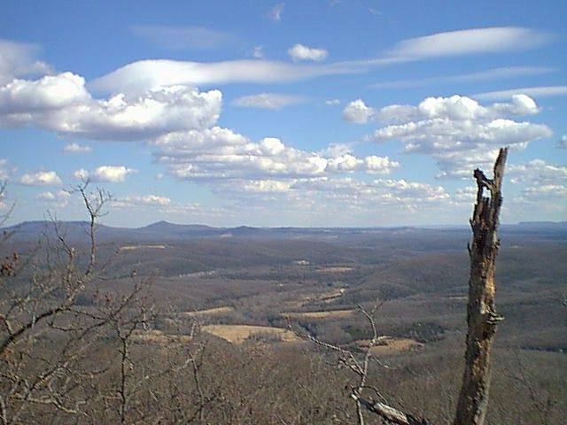
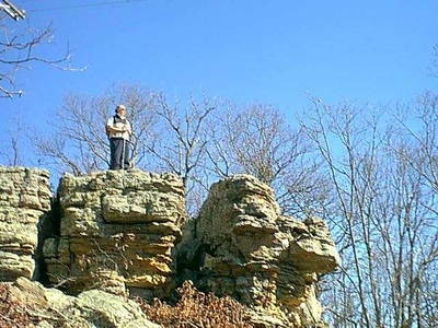
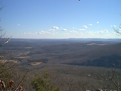
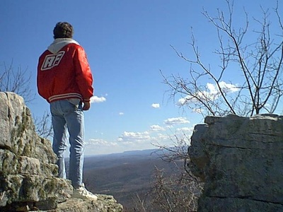
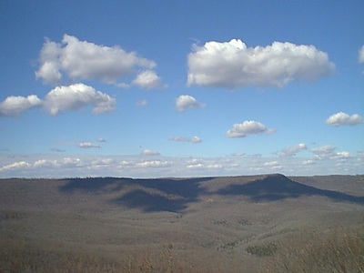
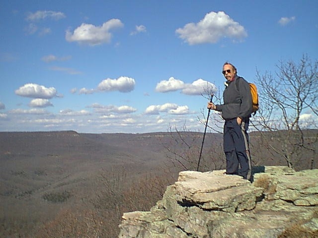
Once we reached the hump, we started walking on an ever narrowing band of rocks. The wind picked up quite a bit and I had to put on a long sleeve fleece pullover. Once we reached the end we caught sight of our first unobstructed view of the surroundings. What a view! As the sun moved westward, we decided to stick around for awhile longer, enjoying the warm sun from our windbreak. As we sat there, chatting about old times and old friends, the clouds moved across the sky casting shadows onto the mountains. We got our map out and identified all the creeks and peaks we could see from this spot. It was pretty comprehensive, there was Cecil Creek, Newberry Point, Cone Point and Mutton Point. We could see the new Erbie Campground as well as the roads leading down to Camp Orr and Kyles. The afternoon slipped by.
After eating our food, and relaxing for close to 2 hours, we decided we had better get back. We made sure we left no trace of our presence at this wonderful spot, then hoisted our backpacks, took one last look around, and headed back to the truck. This hike took around 4 hours, but we spent about 2 of them on the point. I consider this hike a moderate one, although you may want a guide to help you find it.
I really enjoy hiking in the winter here in the Ozarks. For the most part, the temperatures are mild and there is plenty of opportunity to get out and see some of the wonderful views that are available when the leaves are down. This was not a difficult hike, however there was no trail. I guess that is part of the fun Bill and I enjoy, just walking out into the woods and seeing if we can navigate to where we want to go. I strongly recommend maps and a compass if your going to bushwack and not stay on a maintained trail. Also, make sure someone knows where your going, just in case. I encourage each of you to visit the Ozarks, and spend a little quality time with your family, enjoying our winter activities.
