Rural America: To A Point
McFerrin Point Ahead
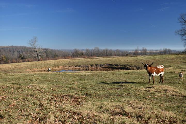
One of the things that I enjoy about living in a small town in rural America is that I get the chance to see all kinds of interesting sights. My home county (Boone) is basically a rural farming and livestock area with Harrison serving as the center. In Newton county, which is the county south of Boone, there are lots of federal lands, wilderness areas, national forests and of course the Buffalo National River Park. As you make your way from one to the other the differences are quite dramatic.
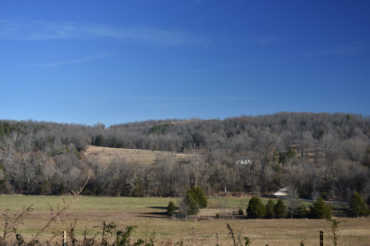
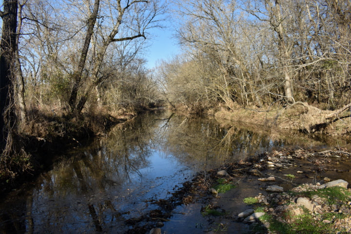
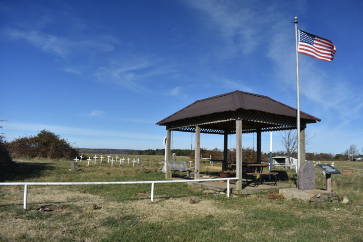
We decided to start at Everton and make our way to McFerrin Point which is located in the Buffalo National River Park. We started out on the back roads as we made our way to Highway 43.. On the hill tops you can see the farmsteads and fields, and of course the cattle which have the very best views! Dropping down into the valleys you cross the small creeks and streams that feed the Buffalo River watershed. We crossed Clear Creek and made our way mostly west and a tad south. We turned onto Highway 43, passed by a very small cemetery and then turned down the road that leads to the Hemmed In Hollow hike. We kept going past that and eventually came to our parking spot.
We decided to start at Everton and make our way to McFerrin Point which is located in the Buffalo National River Park. We started out on the back roads as we made our way to Highway 43.. On the hill tops you can see the farmsteads and fields, and of course the cattle which have the very best views! Dropping down into the valleys you cross the small creeks and streams that feed the Buffalo River watershed. We crossed Clear Creek and made our way mostly west and a tad south. We turned onto Highway 43, passed by a very small cemetery and then turned down the road that leads to the Hemmed In Hollow hike. We kept going past that and eventually came to our parking spot.


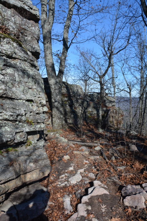
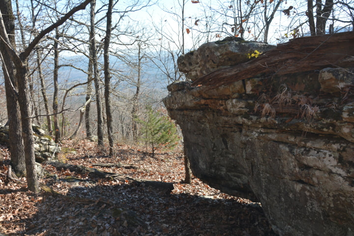
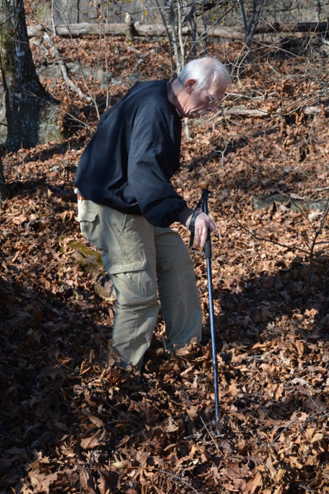
In the old days we climbed up on top and just walked the ridge all the way there, but over the years a trail has appeared that follows the ridge. The hike to McFerrin Point is probably less that a mile but due to all the leaves that have fallen it can be a bit dicey . Slipping on unseen rocks or putting your foot in a hole would not be good.
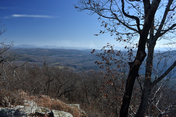
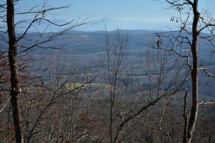
It was a very pleasant walk, going slow and enjoying being in the sun. We stopped several times along the way to admire the view. We noticed smoke in the distance. There have been several wildfires in our area and that smoke must have been from one of them. Once you get to the point you get a really nice view of the entire area. The smoke in several directions made it difficult to get a non-hazy picture. We spent some time at the point enjoying a bit of lunch and the view. It will be nice to come back once the fires are out and the sky clears.
It was a very pleasant walk, going slow and enjoying being in the sun. We stopped several times along the way to admire the view. We noticed smoke in the distance. There have been several wildfires in our area and that smoke must have been from one of them. Once you get to the point you get a really nice view of the entire area. The smoke in several directions made it difficult to get a non-hazy picture. We spent some time at the point enjoying a bit of lunch and the view. It will be nice to come back once the fires are out and the sky clears.


Lunch under our belt and well rested we headed back. Again, the sun followed us the entire way and a light breeze made it a wonderful walk. We spent about three hours on this hike. I certainly enjoyed being able to actually get out and walk in the woods again. Once we got back to the truck we continued down the old Compton to Erbie road. This road is no longer maintained by the park service and so I don't recommend it to anyone who does not have a 4 wheel drive vehicle.
There Is A Trail Here Somewhere
We made it all the way down the road to the Erbie Church without incident and then decided to make a quick trip over to Jasper to have lunch at one of our favorite area restaurants, The Ozark Cafe. I hope each of you gets the chance to take a hike in the Ozarks and chow down on an Ozark Burger, fresh cut fries and a chocolate shake!